


FLOOD UPDATE: The heavy rainfall has caused visitors to the area to question whether more rain is on the way.Vacationers to the Great Smoky Mountains should experience no problems on their upcoming trip to the mountains. Thankfully, the rain ended and the rushing waters have subsided. The Little Pigeon River, as well as other streams and creeks in the area, may still be experiencing high water levels, but those levels are quickly decreasing. Roadways are completely passable and all area restaurants and attractions are open for business. We are pleased to report that there were no injuries or serious damages during the flood.
PREVIOUS STORY: We have officially entered the rainy season in the Great Smoky Mountains. When visitors and locals woke up this morning, January 11, 2014, they were surprised by the amount of rain that was washing through the area. As rivers and roadways started filling up with water, the floods began to stretch across the area. From the Great
Smoky Mountains National Park, through the surrounding cities of Gatlinburg, Pigeon Forge and Sevierville, water levels began to rise, leaving the Smoky Mountains covered in a muddy, wet mess.
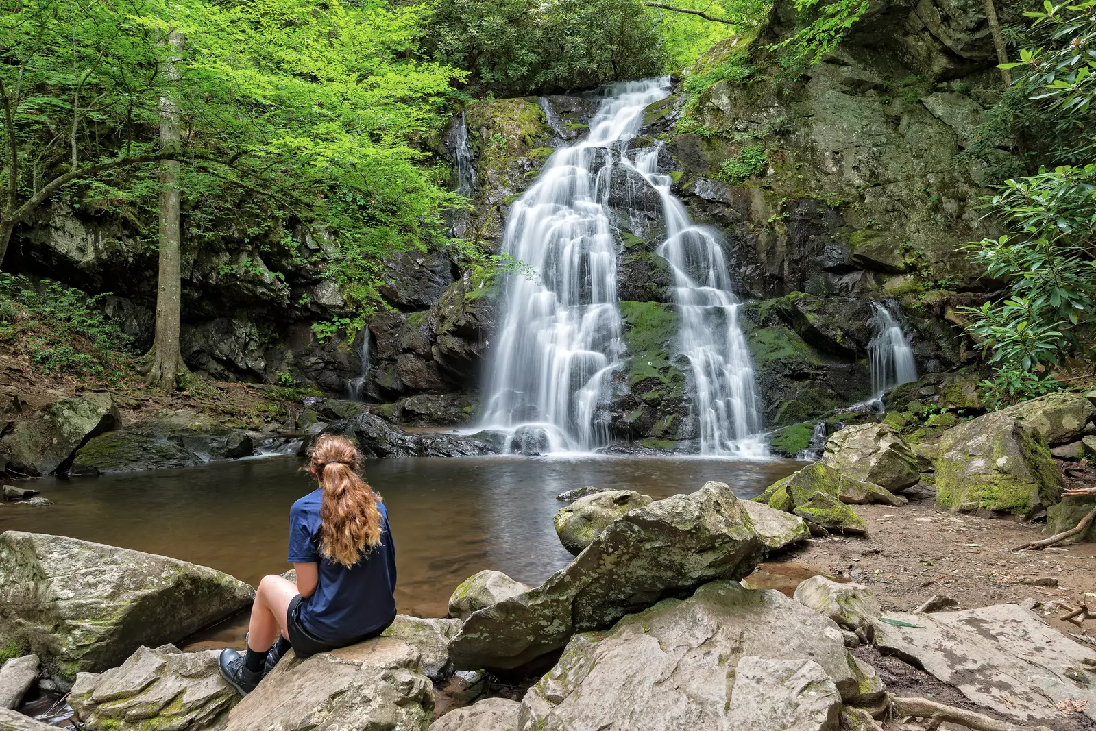
Thankfully, very few places have had to evacuate due to the flooding. The Great Smoky Mountains National Park is reporting high water levels in creeks and rivers, causing some hiking trails to be extremely slick and washed out. Driving conditions should not be affected, but drivers should use caution.
This is a video of the rushing water of the Little Pigeon River:
Video courtesy of Jamie Lyn Colton (Gatlinburg).
(Other News to Check Out: Local Pigeon Forge Amusement Park Closes Its Doors)
2013 Year in Review: Floods
January 13-17, 2013: The year 2013 started off with nearly 9 inches of rainfall throughout the Great Smoky Mountains in only 4 days. The widespread flooding caused a lot of problems throughout the Great Smoky Mountains National Park.
January 16, 2013: Many people will remember that Newfound Gap Road was washed out, resulting in a complete closure of the road, due to a landslide that undercut the road. This wasn’t the end of the rainy conditions, though.
January 30, 2013: In only 24 hours, about 5 inches of rain fell into the area, causing more floody conditions.
January 2013 was recorded as the wettest January in history, noting that nearly 17 inches of rain accumulated on Mount LeConte.
Although January was a warm, wet month for 2013, February and March of the same year would bring on
extremely cold and snowy conditions. Could this be a forecast for the upcoming months for 2014? It’s definitely possible.
If you liked this blog, leave your thoughts in the comments section below this post.
For the most up to date weather forecast for the Great Smoky Mountains, you can take a look at Visit My Smokies’ weather page where our weatherman, Paul Poteet, will keep you in tune with all of the weather conditions in the Smokies.


