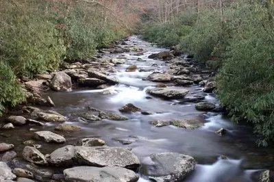


The Smoky Mountains are home to a number of scenic drives that give guests a picture-perfect tour through some of the most beautiful natural areas around. One of the best is Kuwohi Road, which offers a front-row seat to some of the most breathtaking landscapes in the Smokies! It’s a must-see adventure that highlights the region’s beauty and history, all in one. Here is everything you should know about the scenic drive along Kuwohi Road:
What is Kuwohi Road?
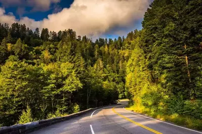
Kuwohi Road is a paved mountain road that starts at Newfound Gap Road and runs all the way up in elevation until it reaches the parking area near the summit of Kuwohi, formerly known as Clingmans Dome. Kuwohi, standing at 6,643 feet in elevation, is the highest point in the state of Tennessee and the third-highest in Eastern North America! The road stretches for about 7 miles and is lined with scenic overlooks, thick forests, and all the reasons in the world to stop and enjoy the views. Kuwohi is named after the Cherokee word that translates to "mulberry place”.
Why Drive It?
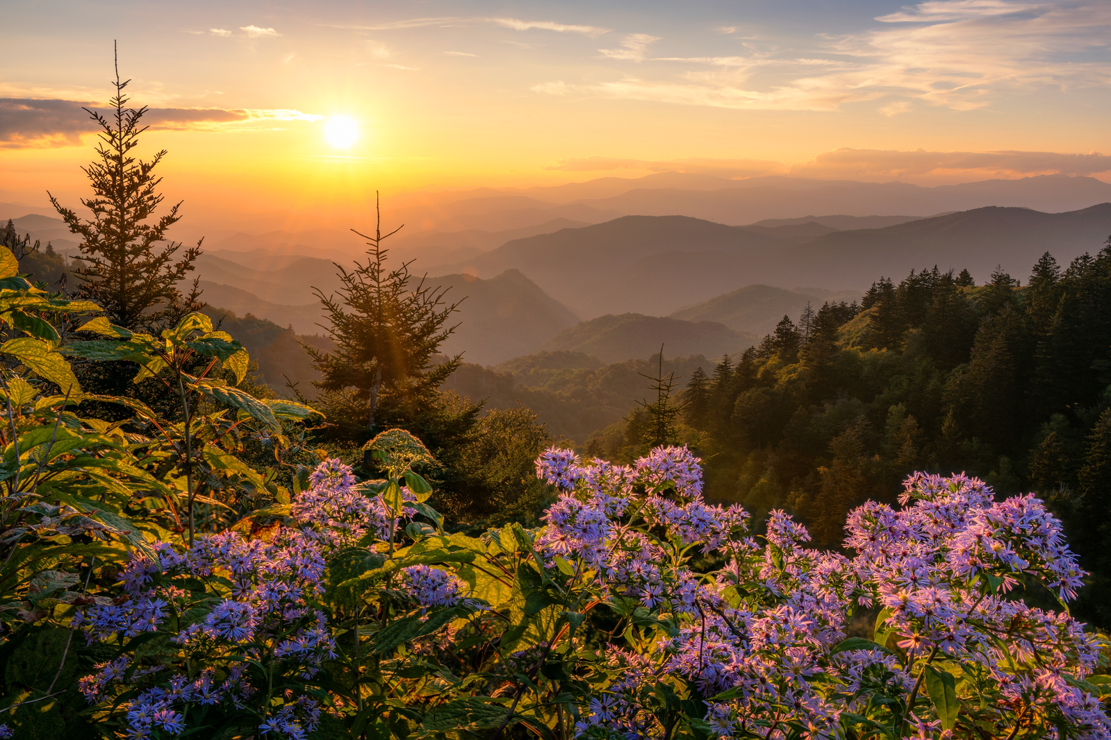
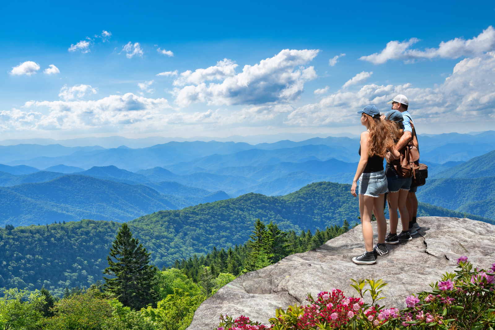
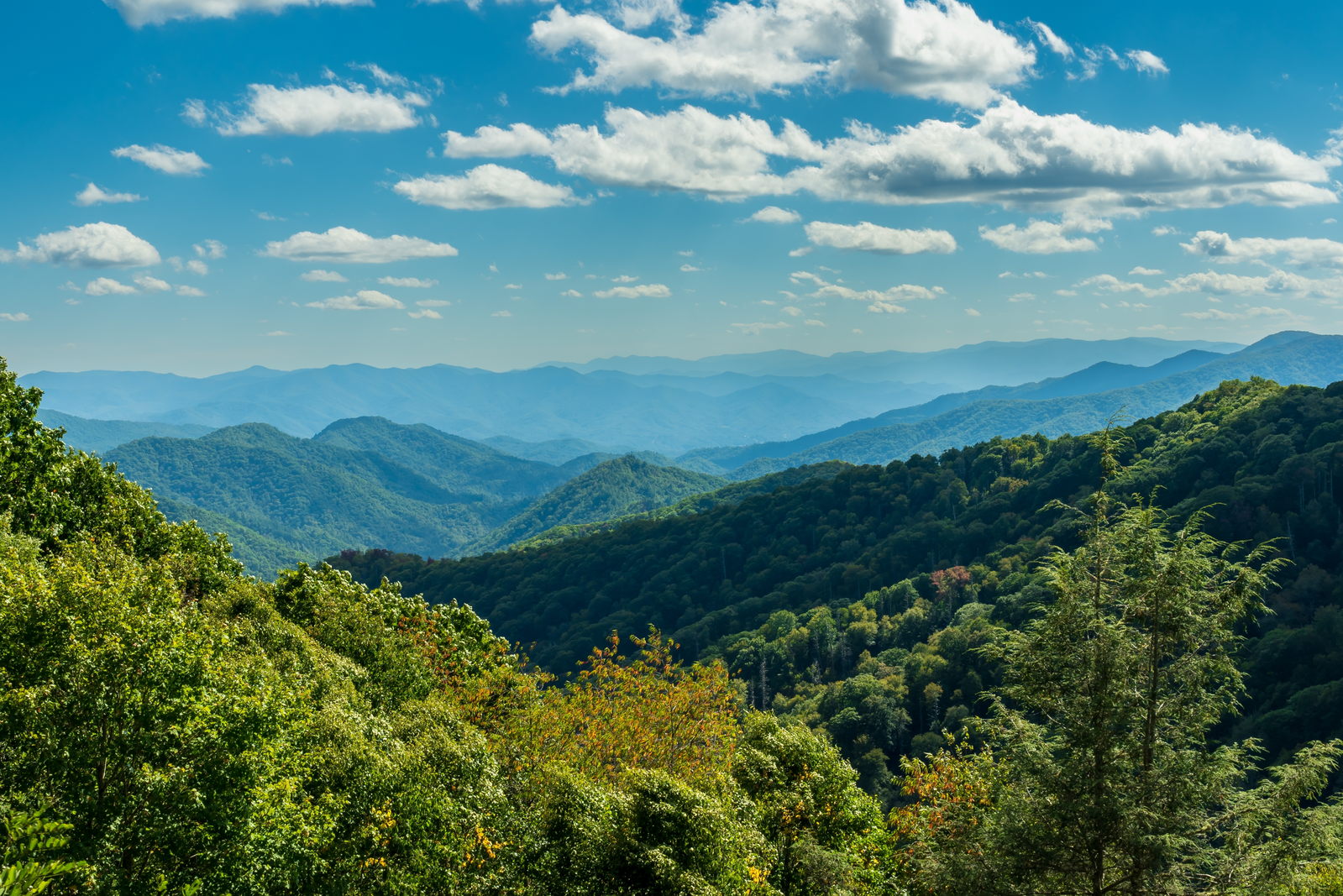
Picturesque Mountain Views
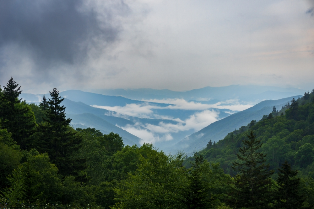
The views along Kuwohi Road are constantly changing with the elevation. You’ll come across ridges, valleys, and layered peaks. Roadside pulloffs give guests a chance to stop, stretch your legs, and snap photos of the unbeatable views.
Cooler, Refreshing Climate
Due to the elevation, Kuwohi Road can often be 10-20 degrees cooler than other nearby parts of the Smokies, making it the perfect activity for a hot summer day. Remember to bring a light jacket, even in warmer months.
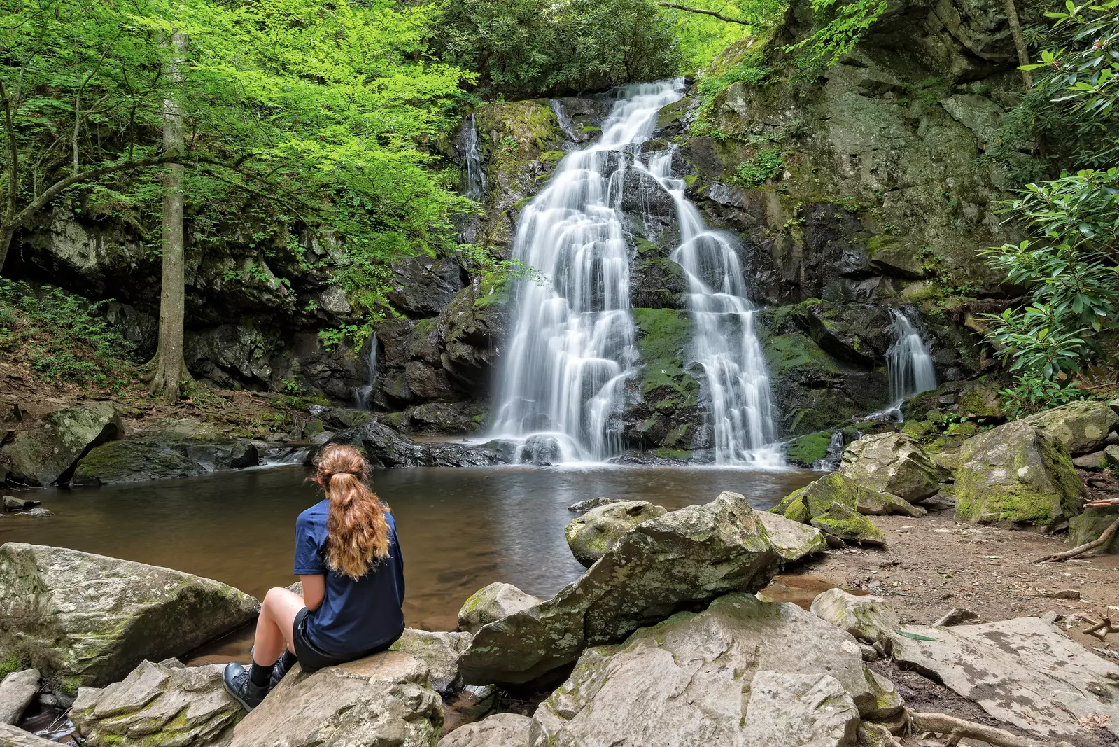
Access to Hiking Trails
At the end of Kuwohi Road is a paved half-mile trail that takes visitors by foot to the Kuwohi Observation Tower. While the trail is steep, the panoramic views are the ultimate reward. On the clearest of days, you might be able to see as far as 100 miles into the distance!
Best Stops & Hidden Gems Along Kuwohi Road
Here are some points of interest you will find along Kuwohi Road:
- Scenic Pulloffs & Lookouts – There are numerous places directly along the road to pull off your vehicle and enjoy easy, peaceful views of the Smokies.
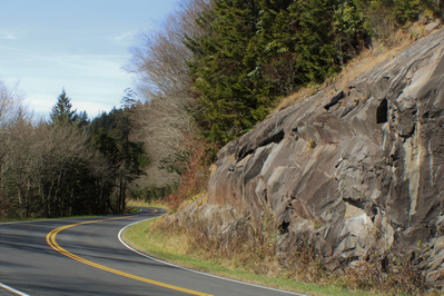
- Weeping Wall – These are rock formations along Kuwohi Road where moisture and water condensation form, giving the appearance that the rocks are crying due to dripping water. During the winter these will sometimes transform into ice formations.
- Spruce-Fir Nature Trail – A short, 0.35-mile trail located just off Kuwohi Road. The trail takes guests through the Spruce-Fir Forest and is home to wildlife species only found at this high of an elevation. Large quartz rocks can be found at the end of the trail and during the spring and summer, wildflowers grow along the trail.
- Historic Tunnel – This secret tunnel under Kuwohi Road is an ornate stone archway left over from early Smokies infrastructure.
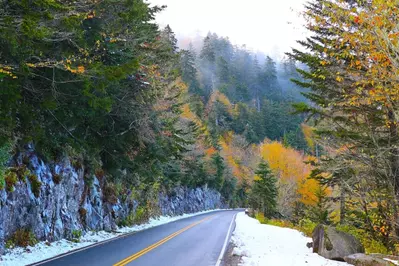
Seasonal Closures
Kuwohi Road closes each winter from December through March because of snow and ice. You can still hike to the Kuwohi Observation Tower during this time, although it requires a much longer hike without the use of Kuwohi Road. The road becomes a trail for cross-country skiing and snowshoeing each winter.
Outside of the yearly closure, the national park may temporarily close Kuwohi Road for safety reasons, usually caused by weather. You can check current conditions and up-to-date closures before visiting by clicking here.
If you’re looking for a scenic drive to enjoy on your next trip to the Smoky Mountains, Kuwohi Road checks all the boxes! Looking for more options? Check out the best scenic drives in the Smoky Mountains to learn more.