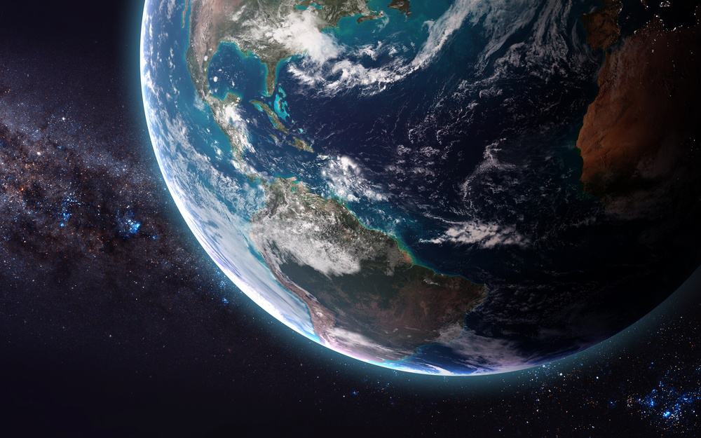
Blue Mist in the Smoky Mountains is Visible from Space: See the Satellite Photo
There have been lots of great photos taken of the Great Smoky Mountains over the years, but you’ve never seen one like this! The NASA Earth Observatory recently shared a stunning satellite image of the Smokies. What is remarkable about the picture is that the mountain range’s signature blue mist is visible all the way from outer space. To see a full size version of the photo, click the link in the tweet below:
The ‘Place of Blue Smoke’ https://earthobservatory.nasa.gov/images/89485/the-place-of-blue-smoke #NASA pic.twitter.com/tcKO7ZK6OG
— NASA Earth (@NASAEarth) January 22, 2017
What Causes the Blue Mist in the Smoky Mountains
The Cherokee called the Smoky Mountain area “Land of the Blue Smoke”, but that “smoke” is actually better described as “mist” or “fog”. The mist is formed by all of the vapor given off by the millions of trees, bushes, and other vegetation in the mountains. The fog takes on a blueish appearance because the vapor molecules scatter the blue light from the sky. For a more detailed explanation of the region’s blue mist, read our article about What Makes the Smoky Mountains Smoky.
Now that we know that the Smoky Mountains’ iconic fog is visible from space, we may want to prepare for an alien invasion. If there is any intelligent life out there, how can they resist visiting the Earth after seeing these beautiful views?!
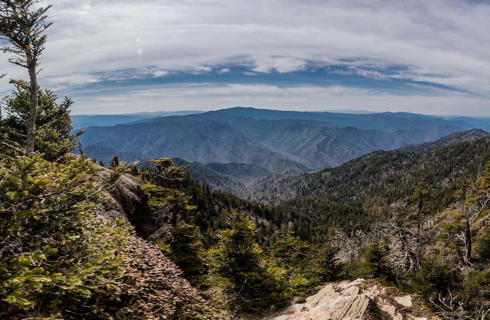
Smoky Mountain Landmarks You Can See from Space

In addition to the blue mist, a number of other Smoky Mountain landmarks are visible from space. Here are some points of interest you can see in the satellite image:
- The city of Gatlinburg is a gray blur located in between the ridges of the mountain. If you’ve never visited Gatlinburg, we assure you that it is much more photogenic in person!
- As the highest point in the Smoky Mountains, Clingmans Dome is visible from outer space. This mountain peak is a whopping 6,643 feet tall, which also makes it the highest point along the Appalachian Trail.
- On the North Carolina side of the Smokies (right of center in the image), you can see Fontana Lake. This reservoir is located on the Little Tennessee River and forms part of the southern border of the Great Smoky Mountains National Park.
How the Satellite Image Was Created
The NASA Earth Observatory image is actually a composite made by stitching together several photos taken by the Landsat 5 and Landsat 7 satellites. The original pictures were taken over the course of 27 years, from 1986 to 2013. All of the images were shot between June 21 and September 20, to capture the Smokies during their summertime glory. The composite photo is so clear because only cloud-free pixels were used to create this idealized snapshot of the mountains.
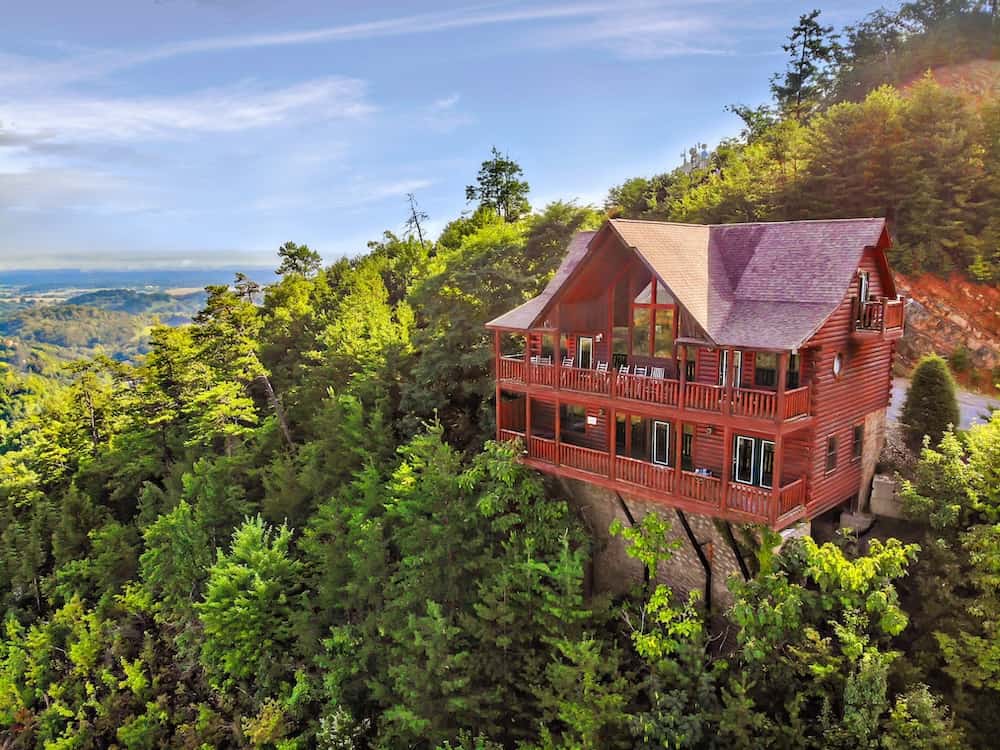
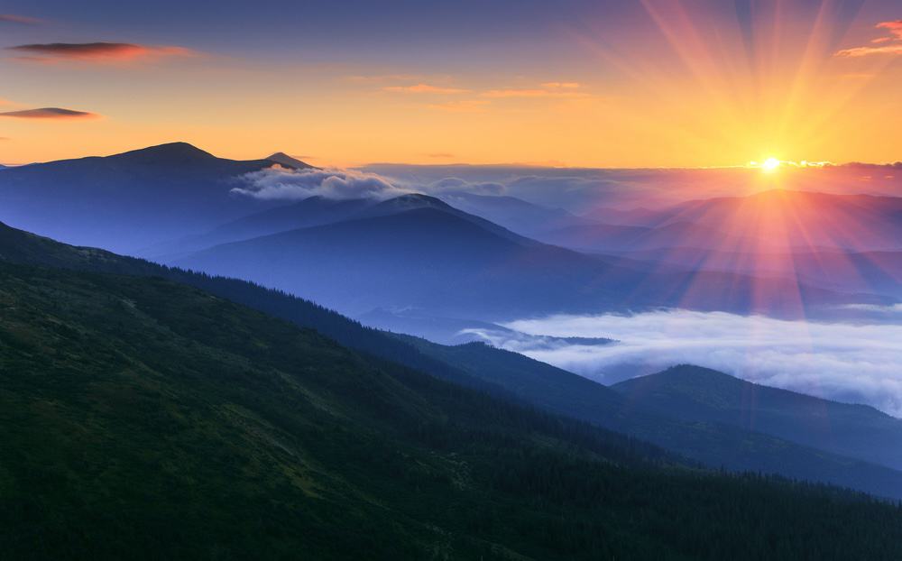
More Beautiful Photos of the Smoky Mountains
 More Beautiful Photos of the Smoky Mountains
While it’s hard to compete with NASA’s incredible satellite images, there are some great photos of the Smokies that were taken right here on Earth! To help get you excited for your next trip to Gatlinburg and Pigeon Forge, we have put together a collection of 28 Smoky Mountain Pictures That Will Make You Want to Move Here.